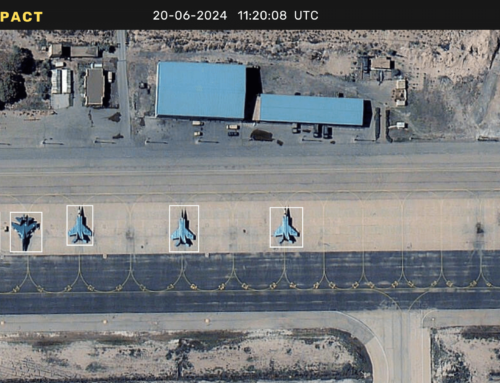
Kleos Space signed a collaborative, non-binding, Memorandum of Understanding (MoU) with Israeli based end-to-end geospatial intelligence company ImageSat International (iSi) to explore opportunities to use Kleos’ maritime Radio Frequency (RF) activity-based satellite data to enhance geospatial intelligence analytics. Under the MoU, the companies will develop a value-add proposition for current and future ImageSat maritime customers using Kleos’ geolocation data. The MoU also covers the development of a methodology to reduce collection to dissemination latency.
ImageSat has more than 20 years’ experience in end-to-end space, intelligence, and analytical solutions for defense and intelligence customers. The company’s areas of expertise include integrated ISR solutions, Very High-Resolution (VHR) satellite services, Geospatial Intelligence (GEOINT), and data analysis. Its ground-segment is designed to manage high-revisit satellite constellations. Additionally, Kleos is on track to launch its initial Scouting Mission satellites on a Rocket Lab Electron rocket from New Zealand by the end of the second quarter of 2019. The multi-satellite Scouting Mission system will form the cornerstone of a constellation that delivers a global picture of hidden maritime activity, enhancing the intelligence capability of government and commercial entities when Automatic Identification System (AIS) is defeated, imagery unclear, and targets out of patrol range.
“ISi is a global leader in satellite imagery and analysis. This collaboration is a good example of the value of Kleos”
activity-based maritime reconnaissance information as an extra data-set for end-customers in the defence and intelligence sectors. The launch of our Scouting Mission satellites will enable Kleos to commence generating revenue by delivering this commercially available data-as-a-service through collaboration with strategic global partners within the defense and intelligence sectors,” said Kleos Space CEO Andy Bowyer.


